
Plik:VISTA A EST DAL MASTIO DELLA ROCCA.jpg

Srogość tego podglōndu: 800 x 324 pikselōw. Inksze rozdzielczości: 320 x 130 pikselōw | 640 x 259 pikselōw | 1024 x 415 pikselōw | 1280 x 519 pikselōw | 2560 x 1038 pikselōw | 10 009 x 4058 pikselōw.
Ôryginalny zbiōr (10 009 × 4058 pikselōw, srogość zbioru: 4,93 MB, zorta MIME: image/jpeg)
Ôpis
| Ôpis |
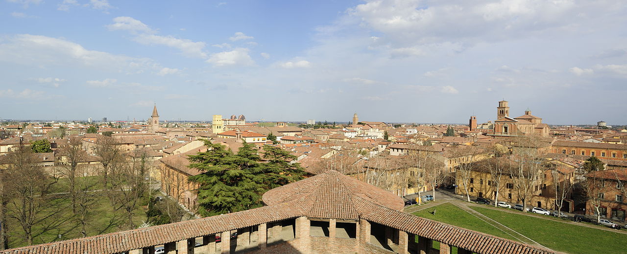
Italiano: Rocca Sforzesca - MIBAC
|
|||||
| Data | ||||||
| Zdrzōdło | Włŏsnŏ robota | |||||
| Autōr | Bassanan |

| Pozycja fotografa | | To i inne zdjęcia na: OpenStreetMap |
|---|
Licyncyjŏ
Ja, właściciel praw autorskich do tego dzieła, udostępniam je na poniższej licencji
Tyn zbiōr podlygŏ licyncyji Creative Commons Uznanie autorstwa – Na tych samych warōnkach 3.0.
- Idzie:
- udostympniać – kopiować, rozkludzać i przekazować dzieło
- modyfikować – adaptować dzieło
- Pod tymi warōnkami:
- uznanie autorstwa – Musisz ôkryślić autorstwo, podać link do licyncyje, i skŏzać, czy dzieło było zmiyniōne. Możesz to zrobić kożdym usōndnym spusobym, ale niy tak, żeby sugerować, że posiedziciel licyncyje spiyrŏ Ciebie abo Twoje użycie dzieła.
- trzim licyncyjõ – Jeźli zmiyniŏsz abo budujesz na tyj materyji, musisz swoje dzieło rozkludzać na takij samyj abo zgodliwyj licyncyji, jak we ôryginale.

|
Ta fotografia została przesłana w ramach projektu Wiki Lubi Zabytki będącego częścią inicjatywy Wiki Loves Monuments 2012.
|
 |
Gyszichta zbioru
Kliknij w datã/czas, żeby ôbejzdrzeć zbiōr, jak wtynczŏs wyglōndoł.
| Data i czas | Miniatura | Wymiary | Używŏcz | Kōmyntŏrz | |
|---|---|---|---|---|---|
| terŏźnŏ | 09:39, 27 wrz 2012 | 10 009 × 4058 (4,93 MB) | Bassanan | User created page with UploadWizard |
Użycie zbioru
Ta strōna używŏ tego zbioru:
Globalne użycie zbioru
Tyn zbiōr je używany tyż we inkszych projektach wiki:
- Użycie we an.wikipedia.org
- Użycie we avk.wikipedia.org
- Użycie we eo.wikipedia.org
- Użycie we it.wikipedia.org
- Użycie we pl.wiktionary.org
- Użycie we tr.wikipedia.org
- Użycie we vo.wikipedia.org