
Plik:1907 map of Asia Minor-Atlas of Ancient and Classical Geography by Samuel Butler.jpg

Ôryginalny zbiōr (3170 × 2072 pikselōw, srogość zbioru: 2,08 MB, zorta MIME: image/jpeg)
Ôpis
| Ôpis |
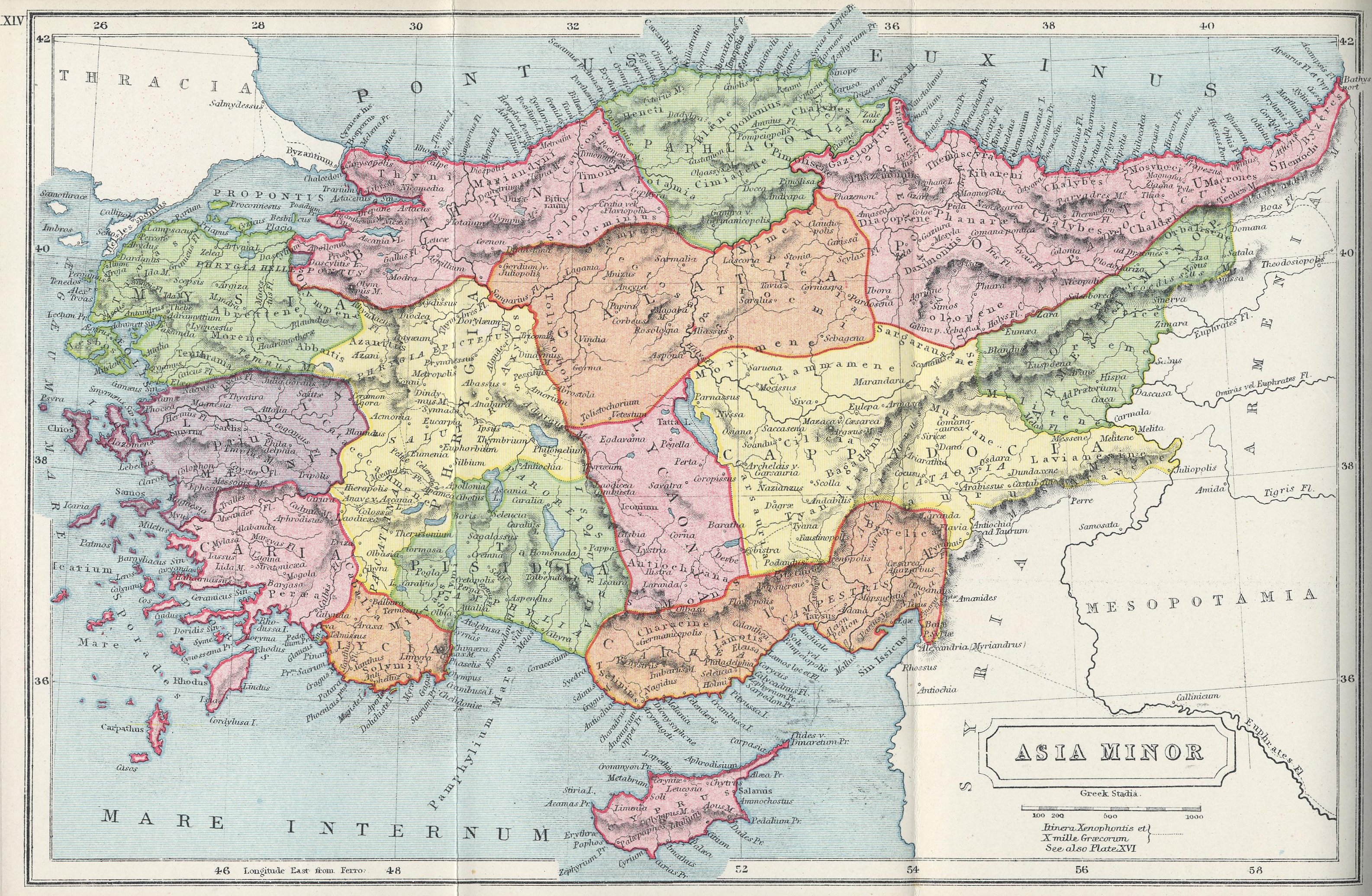
English: Old map of Turkey The Atlas of Ancient and Classical Geography by Samuel Butler |
||||||||||||||||||||
| Data | Published in 1907 | ||||||||||||||||||||
| Zdrzōdło | www.gutenberg.org | ||||||||||||||||||||
| Autōr |
|
||||||||||||||||||||

Source:
The Atlas of Ancient and Classical Geography by Samuel Butler, available freely at Project Gutenberg
Licyncyjŏ
| This image comes from the Project Gutenberg archives. This is an image that has come from a book or document for which the American copyright has expired and this image is in the public domain in the United States and possibly other countries.
This eBook is for the use of anyone anywhere at no cost and with almost no restrictions whatsoever. You may copy it, give it away or re-use it under the terms of the Project Gutenberg License included with this eBook or online at www.gutenberg.net. |
Gyszichta zbioru
Kliknij w datã/czas, żeby ôbejzdrzeć zbiōr, jak wtynczŏs wyglōndoł.
| Data i czas | Miniatura | Wymiary | Używŏcz | Kōmyntŏrz | |
|---|---|---|---|---|---|
| terŏźnŏ | 18:52, 15 wrz 2010 | | 3170 × 2072 (2,08 MB) | Geagea |
Użycie zbioru
Ta strōna używŏ tego zbioru:
Globalne użycie zbioru
Tyn zbiōr je używany tyż we inkszych projektach wiki:
- Użycie we az.wikipedia.org
- Użycie we bg.wikipedia.org
- Użycie we bn.wikipedia.org
- Użycie we de.wikipedia.org
- Użycie we en.wikipedia.org
- Użycie we es.wikipedia.org
- Użycie we fa.wikipedia.org
- Użycie we he.wikipedia.org
- Użycie we incubator.wikimedia.org
- Użycie we ku.wikipedia.org
- Użycie we mzn.wikipedia.org
- Użycie we pnb.wikipedia.org
- Użycie we sv.wikipedia.org
- Użycie we tr.wikipedia.org
- Użycie we ur.wikipedia.org